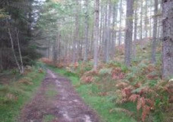
Walk of the week: The Dava Way


The railway, from Perth to Inverness, via Aviemore, Grantown-on-Spey and Forres, was opened in 1863 and in 1865 a merger with the Aberdeen to Inverness Railway resulted in the Highland Railway taking over these routes. In 1898, the Highland Railway opened a direct line from Aviemore to Inverness, via the Slochd, leaving the Grantown line as a secondary route. However, with rail traffic continuing to decline, passenger services on the Grantown line were withdrawn in 1965 with goods continuing until full line closure in 1968.
The Strathspey Railway Co Ltd purchased the line from Aviemore to Grantown with the intention of relaying track and restoring steam railway services to a new station on the north-west side of the town. (Services presently terminate at Broomhill, but with track already laid to the River Dulnain).
Advertisement
Hide AdFunding to complete this is sought by The Strathspey Railway Charitable Trust. The major problem is at the A95, where road re-alignment has removed embankments of the once railway bridge. A tunnel for the railway is now mooted. Given that expense, extending the railway to Grantown will take several years. See details of the project and how to help at www.railstograntown.org
Map Ordnance Survey map 36, Grantown & Aviemore
Distance 8 miles
Height 100m
Terrain Railway track bed and path
Start point Old railway line by Grantown caravan park, map ref 024282
Time 4 hours
Nearest town Grantown
Refreshment spot Macleans Bakery and Café, The Square, Grantown
The route
Seafield Avenue leads from the Square in Grantown and passes the caravan park on the right. Go under the railway bridge, from where steps on the right lead to the track bed on the massive embankment. It is possible to stroll south on the line, through Beachen Wood to the industrial estate where little remains of the original station, but the Dava Way goes north.
Soon traverse a silver birch-lined cutting, with the town lost to view, then reach the A939, the Dava Moor road, and open country. The way goes parallel to the road then crosses at a mock castellated bridge, known as Lady Catherine’s Halt, designed to complement the East Lodge of Castle Grant. The building of the lodge, and its spiral staircase leading to a platform, was compensation for the railway securing permission from the Earl of Seafield to cross his territory.
Beyond the bridge is a diversion to avoid a waterlogged cutting. The track bed can be followed, but it is much easier to take the diversion path. The signposted path goes by the edge of a wood, then parallel to the A939, before turning right on a minor road to rejoin the railway.
Advertisement
Hide AdAs we walked, Rhona remembered the diary of her great aunt, Ethel Fraser, a founder member of the Moray Mountaineering Club. Ethel had described weekend club meets in the 1930s, travelling by train from Elgin to Grantown, then by train the next day to Aviemore, hiring a car to Coylumbridge, the end of the road, and from there to Braeriach.
The way curves through a wooded area, suddenly reaching a signpost – Forres 20 miles, Grantown 4 miles – and a path which crosses the line. To the left is a car park, map ref 023325, on the A939 by the boundary of the Cairngorms National Park. To the right is Huntly’s Cave crag, of significant interest for rock climbers, in the wooded gorge of the Allt an Fhithich (raven). The classic climb is the double overhang, grade HVS5a. Huntly’s Cave, little more than a cleft in the flat rocks at the top of the cliff, was allegedly a hiding spot for various inhabitants of Castle Grant in the mid-17th century.
It is an easy return to Grantown.