Scottish walks: The Tullibardine circular


Once nourished by freshly made scones at Delvino Wine Cafe, Rhona and I headed for the following partially sheltered route of little ascent; ideal on yet another of those storm-tossed wet spring days.
The station is situated where the road from the west end of Auchterarder to Tullibardine takes a sharp bend to the right. All that remains of the railway bridge over the Tullibardine village road is the station side abutment; the other side is but a grassy ramp. This easily identified point is equidistant between the village, ½ mile to the north-east, and the atmospheric 1446 Tullibardine Chapel to the west. One of the few medieval churches in Scotland that survived the Reformation, the walls are studded with the coats of arms of the Murray family.
Map Ordnance survey map 58, Perth & Alloa
Distance 5½ miles
Height 100m
Terrain Tracks and minor roads
Advertisement
Hide AdStart point Former Tullibardine railway station, SW of the village, map ref 918136
Time 2½ to 3 hours
Nearest town Auchterarder
Refreshment spot Delvino Wine Cafe, 22 High Street, Auchterarder
A large white modern house has completely replaced the old station house and the platform area is now a grassy lawn. However, a track on the right, the old station access, goes past the house to reach the far end track bed which is mapped as a track, as indeed it is.
Heading northwards, the track bed gives an easy descent then rise to a strip of woodland where the mapped track curves to the left. This is the return route. However, pass by a large wooden gate to continue in a straight line on the railway track bed. By now a secretive way, not apparent from the map, it is a grassy and enjoyable stroll passing by a number of gates, some of them of the horse-rider friendly type. Only at one cutting, partially flooded on our admittedly very wet day, is a careful traverse required by the rim of the cutting.
The railway tunnel under the track leading to Farmton has been filled in and in any case, ahead lie the extensive grounds of Machany House. Say goodbye to the old railway, at least for the time being. Turn right, cross a burn by footbridge, then left to gain the Farmton track. Reach the Tullibardine to Crieff road, turn left and then left again, heading west on the minor road past Drumness.
The road curves left and steadily ascends, the only climb of the day, passing through a plantation. The trees on the left have been felled – a bonus for walkers in giving open views of the rolling hillsides north-west of Auchterarder. Just beyond the top of the hill, from where the road curves to the right and descends, turn left on the mapped track.
Advertisement
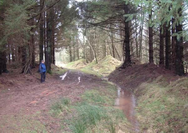
Hide AdAfter a level section, the track takes a curving descent through the wood to cross a burn, in spate on our day. The track curves right then terminates, at least as shown on my map at map ref 895145. From this point heading south-east, the mapped path in reality is but a continuation of the track and despite being in rougher form, gives easy walking. The track descends to another burn, spanned by a pipe bridge, then ascends again to continue on what is now mapped as a track. What with timber operations and being used by horse riders, it was little surprise after days of torrential rain that the going was muddy. The track weaves its way through mixed but open woodland and passes by rhododendrons; a sure sign of an old estate. The track quickly leads back to the railway track bed. It is then a gentle incline back to the start point.