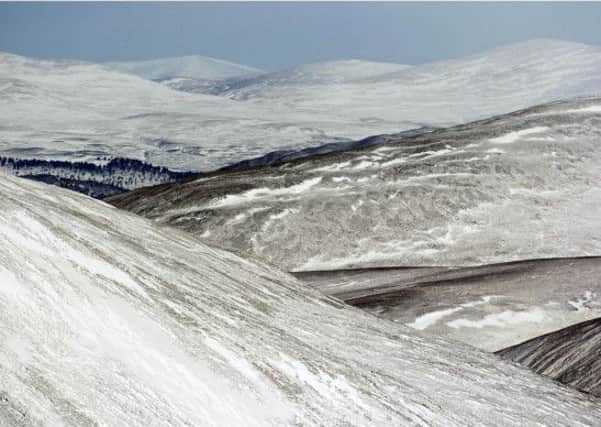
Scottish mountain avalanche forecasts to begin


Throughout the winter the sportscotland Avalanche Information Service (SAIS) will issue daily reports on the avalanche dangers in the most popular mountain areas, allowing mountaineers, ice climbers and off-piste skiers to make informed choices about where and whether to go.
A dedicated band of avalanche experts going out every day, whatever the weather, will carry out assessments of the snow conditions in the Northern and Southern Cairngorms, Lochaber, Glen Coe and Creag Meagaidh.
Torridon
Advertisement
Hide AdThis year, for the first time, SAIS will also provide a limited forecast for the Torridon area in the North West Highlands.
A pilot service will start on 24 December and run to 29 December, then run from 1 to 5 January, 10 to 12 January, 31 January to 2 February, and from 14 to 22 February.
The SAIS will begin issuing the main area avalanche forecasts on Thursday, available at http://www.sais.gov.uk.
Ironically the SAIS launch this year coincides with a substantial thaw which, in itself, poses a variety of safety issues.
‘Check conditions’
Heather Morning, Mountain Safety Adviser with the Mountaineering Council of Scotland (MCofS), advises anyone heading out to enjoy the Scottish mountains to check both the weather and avalanche forecasts and choose their route accordingly.
She said: “Thawing conditions combined with rain at all levels can often lead to challenging burn and river crossings. If you are heading for the hills this week it would be worth paying particular attention to your choice of route as burns may be impassable in spate.”
Advertisement
Hide AdShe added: “The temperature may be above freezing, but wind can be a killer, especially if your clothes are wet.
“The cooling effect of the wind on damp skin and clothing is known as ‘wind-chill’. Surprisingly wind-chill is most marked at lower wind speeds up to 15 mph and can lead to hypothermia. Adding that extra layer, such as a synthetic duvet jacket, to your winter rucksack in case of emergency is recommended.”