Horde of shipwrecks found between Oban and Mull


Marine science students, led by lecturer Dr John Howe, made the find while scanning the seabed between Oban and the island of Jura.
Dr Howe, from the Scottish Association for Marine Science (SAMS) in Oban, said 13 previously unregistered wrecks have been uncovered.
Advertisement
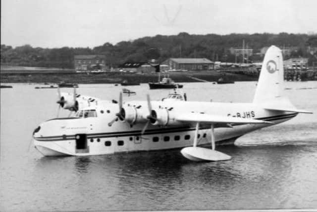
Hide AdHe said: “We found two flying boats, between Oban and Mull. We think it’s a Sunderland and a Catalina.
“The others are smallish, presumably Second World War or turn of the century coasters and fishing vessels.”
Armed with a list of 44 known wrecks in the area from the UK Hydrographic Office, the group identified the unregistered wrecks using a side scanner from SAMS research vessel Calanus.
Dr Howe said: “We surveyed from half a metre to 261 metres of water depth.
“We can recognise these vessels on the seabed but some are beyond diving, some are in 100 metres plus.”
The positions of the wrecks have now been added to national records but the names and history of the vessels discovered by the students are yet to be established.
Advertisement
Hide AdDr Howe said it would be up to other groups, whose main interest was wrecks, to determine the history behind each find.
He added: “We are still investigating. It’s a complete mystery. There have been lots of shipwrecks around Oban, but it’s total guess work at the moment. It’s up to amateur groups to take this forward.”
Advertisement
Hide AdThe new mapping survey, which has been funded by the European Union, is part of the wider Ireland, Northern Ireland and Scotland (INIS) Hydrographic Survey which has been running over the last two years, with different groups mapping different sections of the seabed.
Dr Howe said some fishermen would undoubtedly have been aware of the wrecks but mapping them would ensure that all vessels would know they were there.
He said: “The main aim of the survey is to provide accurate and up-to-date navigation charts but I am interested in the geology side. Our aim now is to look at the biological life of the seabed around Oban.”
The participants of the project will hold their final meeting at the Titanic Museum in Belfast on Tuesday.
Dr Howe said: “We are aiming to bring all the information together then.”