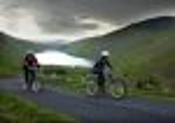
Five cycle route ideas


DUNFERMLINE TO ALLOA
Distance: 18km
Terrain: flat
National Cycle Network route: 764
This is a railway route, so no hills, no traffic and broad tarmac all the way!
The line was constructed in the 1840s, so there is a feeling of history, and with hardly a glimpse of roads, you can relax and relish the changing countryside of fields and forests.
Advertisement
Hide AdThe hedgerow alongside for much of the way is also 160 years old and is an important corridor for wildlife with hundreds of fieldfares in winter and nesting warblers in summer.
The west end is nearer to Clackmannan than Alloa and long-distance cyclists can return to Dunfermline by Carse and low roads through Kincardine and Culross, taking in more history and on a good day something from a hostelry.
CALLANDER TO KILLIN
Distance: 40km
Terrain: moderately hilly
Part of National Cycle Network route 7
Once one of the best stretches of mountain railway in Scotland (and therefore the world). The sight of a locomotive steaming up Glen Ogle must have been quite a sight for the spectators – and quite a “hard shift” for the fireman on the footplate.
You can still get steamed up today as you pedal up the well-engineered route, climbing to almost 1,000ft.
Elsewhere you can easily potter along the side of Loch Lubnaig or cruise down to Killin with the wind in your hair. Among the many delights is the view down Loch Earn, which is one obvious picnic stop. Coffee stops are possible in Strathyre and the top of the pass and there is a very nice lady at the kiosk there.
LOCH KATRINE
Distance: 22km
Terrain: moderately hilly
This is a very popular trip, and if you are not quick enough you might miss the boat, in this case the Sir Walter Scott. It leaves the Trossachs Pier at 10:30am so it’s best to be early.
Advertisement
Hide AdAfter the cruise to Stronachlachar you can get awheel. There are almost no cars, but in the high season a boatload of bikes makes for a veritable “peleton” at the start. A few respectable climbs provide views of the loch and they put some space between the bikes.
Picnic sites abound, but you can continue and work on your appetite for the ice cream and cakes available back at the pier. Wildlife possibilities include osprey sightings.
DALWHINNIE TO BLAIR ATHOLL
Distance: 40km
Terrain: flat
Part of National Cycle Network route: 7
Advertisement
Hide AdPerhaps the best way to tackle this run is to take the train to Dalwhinnie and cycle back. This involves the descent of Drumochter, and with a northerly wind you can have weather and gravity on your side.
The route under wheel alternates between new cycle track, completed for the millennium, and old road. With 1,000ft of altitude to lose the miles sail past, but don’t miss out on a picnic stop. The River Gary, ever-present on the right, offers rest spots aplenty, most of them complete with swimming pool. On a sunny day warm water is guaranteed, so pack your trunks.
LEUCHARS TO DUNDEE
Distance: 20km
Terrain: flat
Part of National Cycle Network route 1
This gives another possibility for a return by train. Leave Leuchars and head for Kinshaldy and Tentsmuir Forest. The grid of forest roads takes you north, so any turn to the right will find you hitting the beach – which you will probably have to share with a fair number of seals.
Tayport offers fine views across to Broughty Ferry, a harbour full of boats and a railway route cycle track to the Tay Bridge. Arrival in Dundee is, unusually, by lift.
Around the corner is the ship and the station. Admire Discovery’s rigging, salute the polar explorers and cross the road, from where ScotRail will convey you back to Fife.
For more information and maps of the National Cycle Network, log on to: www.sustrans.org.uk