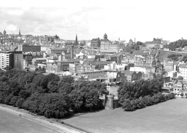
Exhibition offers glimpse of how Edinburgh might have looked if 1960s plans had gone ahead


But if plans recommended in the 1960s had gone ahead, the Capital would have a very different look today.
An exhibition at Central Library on Edinburgh’s 1965 Development Plan Review offers glimpses of what might have been – including the proposed Inner Ring Road, which would have divided the Meadows, flattened Tollcross, filled in Inverleith Pond and driven a tunnel through Calton Hill.
Advertisement
Hide AdThe review – which for the first time attempted a regional plan – noted: “Increase in car ownership and continuing building development in both city and adjoining county areas have made road traffic and transportation major planning problems.
“A primary objective of the Plan is to provide for road traffic by improving the network of principal roads. Additions to the existing principal road network include an inner ring road, to new radial roads and a bypass road.”
Although the plans were given the green light by the Corporation, the only parts of the scheme actually built were the city bypass and part of one of the radial routes – the Western Approach Road.
The inner ring road was scrapped after a campaign from local groups including the Cockburn Association, highlighting the impact it would have had on the city’s heritage and existing housing.
But St James Square at the east end of the New Town fell victim to another aspect of the review, which saw comprehensive development areas drawn up to replace entire districts. The main object was to clear away areas of unfit housing. St James Square’s tenements were bulldozed to make way for the shops and offices of the St James Centre, but the inner ring road was also going to run through here and there were plans for a modern replacement for St Mary’s RC Cathedral, which did not go ahead.
The review talked of a “comprehensive car parking scheme” for the city with 38,000 parking spaces planned for the central area.
Advertisement
Hide AdIt said: “The planned parking provision has been related to the future capacity of the road system, and although the proposed parking spaces represent a substantial increase over present parking accommodation they are unlikely to satisfy the full potential demand of the motor car.”
Public transport, it concluded, must therefore form an essential component of the traffic plan.
Advertisement
Hide AdThe review referred to the “architectural distinction” and “dramatic landscape qualities” of the Old and New Towns.
But it continued: “The layout of the streets is , however, now generally unsuitable for the requirements of modern traffic.”
And it said that development proposals for an extensive area south of the Castle and Royal Mile, including plans for Edinburgh University, the Royal Infirmary, College of Art, George Heriot’s School, housing, major road works, commercial uses and a festival centre could become “a major contribution to 20th century civic design”.
The exhibition is on at Central Library, George IV Bridge, until the end of this month.