Scottish islands mapped in ‘world-first’ detail thanks to drone technology
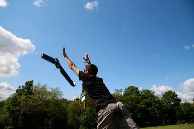
The state-of-the art drone, which flew over Canna and Sanday in the Inner Hebrides last November, took more than 4,000 photographs and also revealed new archaeological sites.
Glasgow-based GeoGeo, commissioned to carry out the survey, were successful in pinpointing not only the exact plots of known sites, but also recording the extensive traces of cultivation such as rig and furrow field systems that range from the Bronze Age onwards.
Advertisement
Hide AdAdvertisement
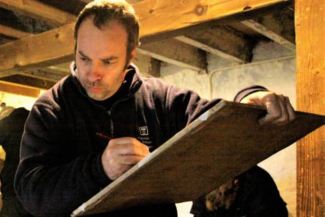
Hide AdPaul Georgie, founder and lead geospatial technologist of GeoGeo, said while the National Trust for Scotland (NTS), who own the islands, were concerned bird life should not be disturbed, he had been worried the white-tailed sea eagles and golden eagles might attack the drone.

He ensured that evasive functions were ready from barrel rolls to Immelmann turns – looping and rolling to avoid contact.
“Fortunately, although birds did take a passing interest, we had no need to use this over Canna,” Mr Georgie said.
The images have been processed to create a minutely detailed 3-D map, which can be used in a 3-D printer to create scale models of the islands.
Mr Georgie said: “The drones we use aren’t those commonly for sale to the public. They represent the most advanced autonomous systems available – miniature fixed-wing aircraft built for larger mapping missions like this.
“We spent five days on Canna last November in miraculously calm and clear weather, with our flying robot navigating itself over 400km to capture over 4,000 images of the islands.
“We then took this data and processed on self-built super computers to produce the most complete 3-D map of the islands to date.
“This not only shows detailed topography and vegetation at a game-changing three centimetres resolution but, with over 420 million data points, is currently the world’s largest complete island dataset captured by drone.”
Advertisement
Hide AdAdvertisement
Hide AdDerek Alexander, NTS head of archaeology, said: “We’ve previously recorded archaeology on Canna and Sanday which proves that there were inhabitants as far back as the Neolithic, but this survey gives us information and detail we just haven’t had until now.
“The detail is simply astounding – aerial surveys for archaeology have been around since the end of World War Two, but this new technology takes everything into a completely new realm, being considerably more detailed, affordable and flexible.
“My colleagues in the trust were blown away by the results and the possibilities of this technology – the cameras allied to ‘self-learning’ software will be able to help us do things like seabird counts, as well as habitat and coastal erosion monitoring that are currently expensive and labour-intensive.”
The trust is studying the detailed maps and will use them to update archaeological records and prepare future groundwork and excavations.
Canna and Sanday were given to the NTS by the Gaelic folklorist and scholar John Lorne Campbell in 1981. Canna House is the repository for the nationally important archive of Gaelic culture and language he amassed.