Scotland's weather: Yellow alert for snow as cold front set to return
A yellow alert warning for snow and ice has been issued by the Met Office for large parts in the east of the country.
Forecasters have also warned more rain and high winds could be on its way this week.
Advertisement
Hide AdAdvertisement
Hide AdA front moving from the south-west towards the north-east is set to bring heavy rain to parts of the UK today and tomorrow, along with strong winds.
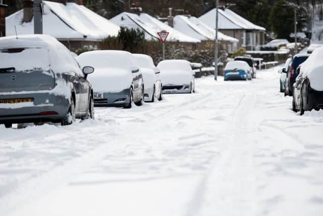

A band of rain will turn to snow over the highest level routes in Highland and Grampian overnight Thursday night into Friday morning, then gradually down to some lower levels through Friday afternoon and evening.
This band will slowly ease in the early hours of Saturday morning, but with colder air arriving from the east, ice will form on many surfaces.
Some roads and railways will be affected with longer journey times. There is a “small chance” of stranded vehicles.


Rain is forecast to hit Edinburgh and the Lothians tomorrow, with temperatures in the Scottish capital to drop to a 2C high by Saturday.
Met Office spokeswoman Nicky Maxey said temperatures in some rural areas of the UK may struggle to climb above zero.
She said there was a higher risk of snow on Sunday as the cold air moved across the southern half of the UK.
However, it would not compare to the conditions caused by the so-called ‘Beast from the East’ earlier this month.
Advertisement
Hide AdAdvertisement
Hide Ad“It is going to be a cold spell – there is a chance some places on Sunday may struggle to get above freezing ... so it is going to be cold, but we are not talking anywhere near what we had the weekend before last,” Ms Maxey said.